
Walk a Hawaii County Street
A useful Hawaii County street directory follows the address through separate records, each with a narrow job. The tax roll supplies a current parcel and mailing party. Planning GIS places that parcel on the island and shows nearby lots. The Bureau of Conveyances supplies recorded instruments, while a directory or map can help interpret an older street label. None of those sources alone proves who sleeps at an address.
- Enter the full address in the Tax & Revenue property search. Save the PIDN, parcel number, location, mailing name, and date checked.
- Open the same point in the Planning GIS Web Map. Select the parcel and inspect the street, zoning, TMK, and adjacent parcels.
- Compare physical and mailing labels. A mailing name or mailing address can belong to an owner, trust, or payment contact elsewhere.
- Use the owner name, TMK, and instrument references in the Bureau of Conveyances index. Identify the actual transfer instrument before calling a party an owner.
- For an older address, compare directory pages, telephone books, Sanborn maps, and street aliases. Record conflicts instead of silently choosing one label.
This sequence works both ways. A street name can lead to a parcel, and a parcel can lead to deeds, permits, maps, or a prior road label. When the goal shifts to one historic household, the Hawaii County city directory collections provide the year-by-year shelf.
Search Hawaii County by Address
The county Tax & Revenue portal offers several ways into the street directory. Choose the field that matches the source in hand. PIDN is best when copied from a county record. A location search is for the physical site, while Mailing Name searches the tax-mailing party. Partial matches work in the non-PIDN modes, which helps when a road suffix or spelling differs.
| Search choice | Input | Result to preserve | Main caution |
|---|---|---|---|
| PIDN | Exact identifier | Property ID and parcel | An inactive PIDN may not display |
| MAP/Parcel | Parcel reference | Parcel and location | Parent and child parcels can differ |
| Location Address | Full or partial address | Physical property label | Not the same as mailing address |
| Street Name | Road name | Matching sites along the road | Aliases may need separate searches |
| Mailing Name | Person or entity name | Tax-mailing party | Does not prove residence |
Results can show Property ID Number, Parcel Number, Mailing Name, Location, and Amount Due. The amount belongs to tax and payment context, not to the street identity. The portal showed no public ZIP filter or previous-owner tab during research, so use the parcel key to move to GIS and deeds.
Map Hawaii County Street Parcels
Planning GIS adds the spatial view that a text result lacks. The county instructions say to accept the agreement, search an address or TMK, select a match, click “Zoom To,” then open Layers. Parcels/TMK and Zoning are core layers; State Land Use District, General Plan Designation, SMA, and other planning layers can add context. The map is informational and is not a legal survey.
A local quirk matters here. Planning says some TMKs must be entered without the leading island-zone digit. Thus a number copied as 3220150330000 may need to be searched as 220150330000. If the first attempt fails, preserve both forms in the research notes. For a condominium, consolidation, or subdivision, also test the parent or child parcel and map number.
The successful manifest capture comes from the County parcel geocoder fields.
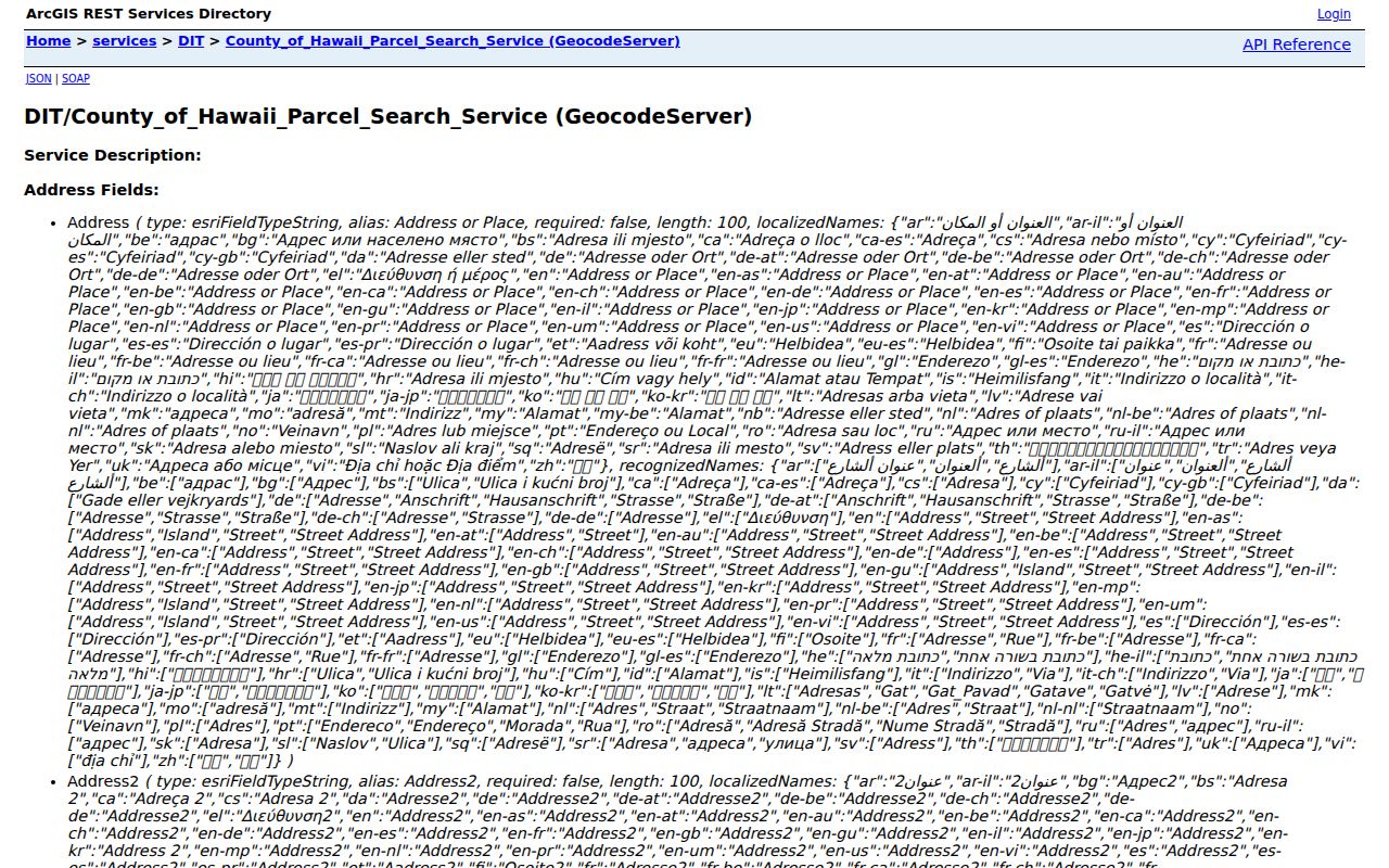
The field list separates address lines, neighborhood, city, county, and state, which is useful when one Hawaii Island place has several valid labels.
Read Hawaii County Address Points
The separate County Address Search Service is based on county address points. Its public fields include Address, Address2, Address3, Neighborhood, City, Subregion, and Region. Address or Place accepts the main string, while the locality fields help distinguish a community name from the county and state.
Address points are approximate and informational. A point may be a search label rather than the legal location of a boundary. Compare it with the parcel polygon and centerline, especially on rural roads. Save the scale, selected label, layer date, and whether a nearby parcel truly shares a boundary or merely looks close on screen.
The address-service capture makes that limit visible.
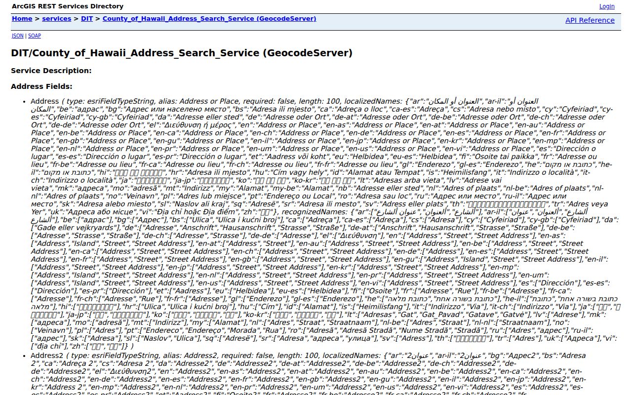
Use those fields to reproduce a result, not to turn an approximate point into a claim about an occupant.
- Parcel
- A mapped piece of land tied to a county identifier.
- Situs address
- The physical location of property, distinct from the tax mailing address.
- Plat
- A recorded or official map that lays out lots, roads, or a subdivision.
- Criss-cross directory
- A directory arranged by street or address instead of only by surname.
Hawaii County Street Record Layers
No single Hawaii County street directory is a complete resident roll. The best method compares records by role and date. A parcel card identifies the tax-mailing party, GIS fixes the parcel in space, and a recorded document shows parties to a legal instrument. Permit and historical sources add dated context without proving current residence.
| Address record | Custodian | What it contributes | How to reach it |
|---|---|---|---|
| Tax property result | Hawaii County Real Property Tax | PIDN, parcel, mailing name, location | Online portal; Hilo or Kona office help |
| Parcel and planning map | Hawaii County Planning GIS | TMK, geometry, zoning, nearby lots | Web map; Planning address desk |
| Recorded instruments | State Bureau of Conveyances | Grantor, grantee, date, instrument, prior references | Online from 1976; room or written request earlier |
| Permit trail | County EPIC and WebLink | Project, applicant, site, and dated public files | Online; county records assistance |
| Historic directories and maps | Archives, UH, libraries, LOC | Dated names, phone listings, businesses, street forms | Scans, microfilm, reading rooms, staff inquiry |
The voter list is narrower. Hawaii law makes name, district or precinct, and status public, while the registration affidavit keeps residence and other personal fields restricted except for authorized purposes. The state OLVR portal lets a voter confirm or update the voter’s own record; it is not a public address search.
The County Clerk has another limited role. It keeps County Council legislative and related administrative records, not deeds, birth certificates, or trial-court files. WebLink search instructions can help with resolutions, ordinances, meeting material, and other published county documents tied to a road or project. If an expected file is absent, contact the office that created it and describe the existing record by address, TMK, date range, and record type.
Decode Hawaii County Road Names
The county centerline is more than a line on a map. Its metadata can preserve the current street name, aliases, address ranges on each side, ZIPL and ZIPR, district, approval status, approval year, and a resolution or subdivision reference. Those fields can explain why a tax location, deed, USPS result, and older directory use different strings.
The current street-naming ordinance addresses continuity, directional terms, and duplicate names within a judicial district or ZIP zone. Yet the centerline warns that current assignment names may differ from official names and that old rural or private roads may be missing. Search the alias, subdivision, ahupuaʻa, district, and nearby road when the modern name fails.
Note: A missing road is a reason to contact Planning with the TMK, not proof that the address or historical source is false.
Follow Hawaii County Street Deeds
The Bureau of Conveyances is the recorded instrument trail for the whole state. Its online index reaches January 1, 1976. Search by grantor or grantee, document number, and the available parcel context. A grantor transfers an interest; a grantee receives it. Confirm the instrument type, since a mortgage, lien, release, lease, or easement is not necessarily an ownership transfer.
Document formats changed. Older records may cite Liber, book, and page. Later records use year-document or eight- and ten-digit formats, while Land Court numbers are sequential and use T. Hawaii can also place property in Regular System, Land Court, or both. Save the document number, recording date, system, parties, TMK, and every prior-instrument reference.
For material before the online boundary, use the BOC public reference room and request guidance. The written form accepts names, approximate date, island, property address, TMK, document class, certification choice, and delivery details. Ask BOC to confirm the current fee for the exact date range before ordering.
Keep a simple instrument log. For each hit, note the search name, document class, recording date, document number, Regular System or Land Court status, and whether the image was viewed. Follow a cited prior instrument as the next link in the chain. If the legal description or TMK changes, compare the acreage, plat, map, adjoining owners, and road label before deciding that both documents describe the same ground.
Check Hawaii County Address Files
Newer permit and project material can appear through the county’s EPIC online-services route, while selected county and Council records appear in Laserfiche WebLink. Search with the location, TMK, owner or applicant name, permit type, and a date span when those fields are available.
A permit applicant may be an owner, contractor, designer, or agent. Treat the name as a project role, not an occupant. If the portal cannot find an older or oddly labeled road, ask Planning for address-assignment records, subdivision maps, or permit files by TMK. A focused Uniform Information Practices Act request can seek an existing record, but should not ask the county to compile a personal dossier.
Export Hawaii County Street Owners
Hawaii County publishes a practical surrounding-owner method. The Real Property Tax instructions show parcel results with TMK or Parcel ID, Owner, and Property Address. Under Mailing Labels, users can choose Owner and export Excel data or Avery 5160 labels.
This is useful for civic notices, boundary research, and checking lots around one site. It is not a list of residents. An owner may receive mail elsewhere, and a trust or company name may appear instead of a person. Verify true adjacency in GIS because a road, common tract, condominium layout, or large farm parcel can change what “next door” means.
Test Old Hawaii County Addresses
Historical sources help when a current street search stops. State Archives directories cover selected years from 1880 through 1913, and a 1924 directory is digitized through UH eVols. The Library of Congress records Hilo and Island of Hawaii telephone directories from November 1921 through May 1956. Sanborn holdings cover Hilo and Honokaa at several twentieth-century dates.
Those sources are snapshots. A telephone listing identifies a subscriber or business, and a Sanborn sheet describes a building or lot rather than its residents. No official, precisely dated Hilo reverse or criss-cross run was found in the inspected catalogs. Ask Hilo Public Library, UH Hilo, or State Archives staff about the specific year and road instead of assuming that an unlisted volume exists.
Island place names deepen the search. A record may use an ahupuaʻa, district, ranch, subdivision, or postal town. Keep the old term, map it with the UH Hilo place-name resource, and note who supplied each modern equivalent.
Limits of Hawaii County Street Records
A street directory cannot reveal a complete household. Tax results may name a mailing party. Deeds name parties to instruments. Directories may show a subscriber, business, or institution. Voter affidavit addresses, motor-vehicle data, utility customer details, confidential vital records, and Address Confidentiality Program information remain limited or protected.
Use dates with every result. Current GIS is not a legal survey, a property card is not a title opinion, and an index line is not the full recorded image. A mismatch may be valuable evidence of a renamed road, old community label, parcel change, or source-date difference.
Lawful use. Use Hawaii County address records only for lawful personal, family, property, or civic research. Never use them to stalk, harass, threaten, or harm anyone.