
Hawaii County Previous Resident Sources
A Hawaii County address can be traced across several eras, but each source proves something different. The current parcel and TMK establish the land being researched. The Bureau of Conveyances, or BOC, identifies parties to recorded instruments. Directories and telephone books provide dated name and address snapshots, while census, probate, cemetery, and map records add household or building context. The table is an era guide, not a claim that every year survives or every named person lived on the parcel.
| Source | Years It Covers | Where Held | What It Shows |
|---|---|---|---|
| BOC recorded instruments | 1976 forward online; older office records | State Bureau of Conveyances | Grantors, grantees, dates, instrument types, and land references |
| Selected Hawaii directories | 1880–1913, plus 1924 | State Archives and UH eVols | Names, occupations, businesses, localities, and some addresses |
| Hilo and Island telephone books | 1921–1956 | Library of Congress microfilm record | Subscribers, telephone numbers, addresses, and businesses |
| Federal census | Public after 72 years | Census and library research channels | Households and relationships, subject to the schedule and address system |
| Maps and permits | Dates vary by collection | Planning GIS, UH Hilo, LOC, WebLink, and EPIC | Buildings, lots, street labels, subdivisions, applicants, and project dates |
For a recent ownership question, use the Tax & Revenue property search and Planning GIS first. For a twentieth-century household, telephone directories and Sanborn maps may be more useful. The selected State Archives directory years and early indexes become central before modern street numbers settled. No verified official catalog of a Hilo reverse or criss-cross directory run was found, so ask a librarian about uncataloged reels rather than assuming such a run exists.
Start Hawaii County Resident History
Begin with the current tax location and its TMK or PIDN. A TMK is the tax-map key that identifies a parcel even when a road label, mailing city, or house number changes. The Tax & Revenue results separate the “Location” from the “Mailing Name.” The first is the property label. The second is the party receiving tax mail and may be a trust, company, fiduciary, or owner at another address. Neither field alone proves who occupied the house.
Open the Hawaii County Planning GIS to compare the parcel outline, map layers, and nearby roads. Planning notes a local input quirk: some TMKs work in the map only after the leading island-zone digit is omitted. Record both forms, the date checked, the physical location, and any subdivision or old lot reference. That small log keeps previous-resident research tied to the same ground as the trail moves back.
Note: Hawaii County has no separate incorporated city archive, so use the actual county or state custodian instead of a postal place label.
Hawaii County Resident Deed Records
The BOC online document search indexes statewide recordings from January 1, 1976. Search the parcel’s TMK or legal description, then inspect the latest transfer instrument. Write down the grantor, grantee, instrument number, recording date, system, and any certificate or book-and-page reference. “Grantor” means the party giving an interest; “grantee” means the party receiving it. Those roles let the search move backward one transfer at a time.
Instrument codes matter. A deed may transfer an interest, but a mortgage, release, lien, easement, lease, apartment deed, trust paper, or land-court order can sit between two transfers. Do not treat each hit as a new owner. Compare the instrument description, parcel, recording date, acreage, and linked certificates. The tax roll reflects one assessment date, while BOC reflects a recording date, so a short mismatch between names may be normal.
Trace Hawaii County Past Residents
A chain of title is the linked sequence of recorded property interests. Follow it from the current parcel rather than starting with a guessed name. The legal description, which describes the land by lot, map, boundaries, or other recorded references, often stays useful after the street label changes. A subdivision, consolidation, or new TMK can split the chain, so preserve both the old and new identifiers.
- Pull the current parcel, mailing party, physical location, and TMK from Tax & Revenue and GIS.
- Find the latest true transfer in BOC. Record its parties, legal description, instrument type, date, and number.
- Search the seller as a prior grantee, using the TMK, approximate date, and system to reject same-name results.
- Repeat with each prior transfer. Track mortgages and releases separately from changes in title.
- At the online cutoff, move to the BOC reference room or submit a precise written search request.
- Grantor and grantee
- The giving and receiving parties named in a recorded instrument.
- Chain of title
- The dated sequence of documents that links one recorded interest to the next.
- Legal description
- The formal land description used in deeds, often more stable than a street address.
- TMK
- The tax-map key used to connect the parcel across tax, GIS, map, and recording systems.
Earlier Hawaii County Previous Residents
Online BOC indexing stops at the start of 1976. Earlier work goes through the public reference room or the BOC written search form. Supply names, an approximate date, record class, island or location, and any book/page, document number, TMK, or legal-description clue already found. BOC materials list a written pre-1976 search route and separate copy or certification charges, so confirm the current total before ordering.
This boundary is a change in access, not proof of a records loss. No official source reviewed documented a Hawaii County courthouse fire or broad destruction. Older series can be incomplete, off-site, or indexed under territorial and community terms. Around county formation in 1905, search both older territorial wording and the new county vocabulary. A person may appear under Hilo, Hamakua, Puna, or another district rather than the modern postal name.
Maps Place Hawaii County Residents
Historical directories name people, but maps test whether an old address points to the same lot. The University of Hawaii Hilo government guide leads researchers to Territorial Survey and Sanborn resources. The Library of Congress holds Hilo Sanborn material dated 1914, 1921, and 1957, plus Honokaa sheets from 1914 and 1956. A Sanborn sheet may show a building footprint, street name, lot pattern, and business use. It does not name every resident.
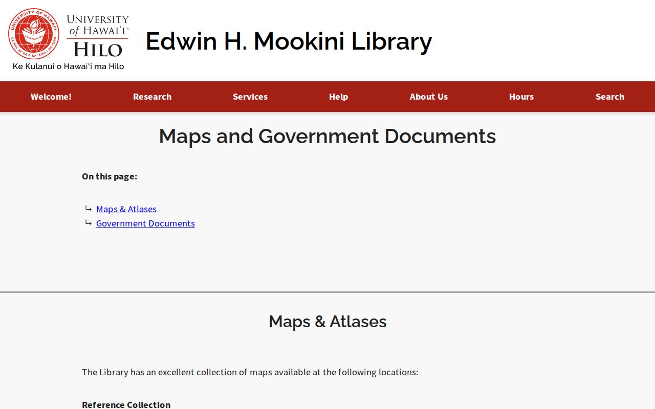
The UH Hilo maps and government-records guide is shown below. Its mix of maps and official sources helps test a directory address against a building and community label.
Use the map date as a firm limit. If a structure appears later, the earlier deed may describe vacant land or a different improvement. If the street name changes, retain the older wording instead of forcing the record into its current label.
Hawaii County Directory Time Bridge
Selected State Archives directories cover years from 1880 through 1913, and UH eVols supplies a digitized 1924 volume. The Library of Congress record for Hilo and Island of Hawaii telephone books spans November 1921 through May 1956. Together, those collections bridge early island records and modern parcels. They are dated snapshots, not a continuous register of previous residents.
The digitized 1880–1881 Hawaii directory appears below. Search names, occupations, businesses, and locality headings, then inspect the scan because OCR can misread initials, numbers, ʻokina, and macrons.
An entry may describe a business, mailing point, or subscriber. Pair it with a deed, map, census line, or probate file before calling the person an occupant.
Hawaii County Family Trail Endpoints
When a name disappears from directories, probate and burial records may explain what happened. State Archives probate and will collections cover 1847–1917 but are incomplete. The Fourth Circuit series includes Hamakua, Hilo, and Puna cases from 1881–1904, with known missing case numbers. Probate can identify heirs, property, debts, and an estate representative, though each role must be reported exactly.
Hawaii County Parks manages 20 cemeteries and publishes Laserfiche burial folders for named county grounds. Entries can include the cemetery, plot, burial date, plot status, and names. This creates a useful parcel-to-cemetery-to-probate path for past residents. For an absent or unclear entry, call Parks rather than inferring that the person was buried elsewhere. A librarian can also check a dated newspaper reel, since no official Hilo obituary-index year list was verified.
Pair Hawaii County Household Records
Owners are only one part of the address history. A directory may name a subscriber, worker, business, or household member with no recorded title. A census schedule may show relationships within a household, but public access follows the federal 72-year rule and an older enumeration can use district geography rather than a clean modern address. The fuller collection history belongs on the Hawaii County city directory page; use those volumes here only to test one address across time.
Use a simple flow: parcel and deed date → nearest directory year → map and street-name check → available census schedule → probate, cemetery, or newspaper follow-up. Preserve exact spelling, locality, source date, and the role shown. If a directory says “subscriber,” do not rewrite it as owner. If BOC says grantee, do not assume the person slept at the property. This separation is what turns scattered hits into credible previous-resident research.
Lawful use. Research previous residents for house history, genealogy, estate questions, or personal curiosity. Never use an address trail to stalk, harass, or harm a living person.